
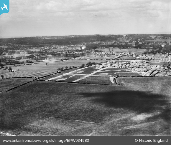
EPW034983 ENGLAND (1931). Housing development adjacent to Stag Lane Aerodrome, Little Stanmore, from the south-east, 1931
© Copyright OpenStreetMap contributors and licensed by the OpenStreetMap Foundation. 2026. Cartography is licensed as CC BY-SA.
Nearby Images (10)
EPW034983

EPW034983
EPW025894

EPW025892

EPW035015

EPW034795

EPW034978

EPW034977

EPW025690

EPW034979

Details
| Title | [EPW034983] Housing development adjacent to Stag Lane Aerodrome, Little Stanmore, from the south-east, 1931 |
| Reference | EPW034983 |
| Date | April-1931 |
| Link | |
| Place name | LITTLE STANMORE |
| Parish | |
| District | |
| Country | ENGLAND |
| Easting / Northing | 519005, 190294 |
| Longitude / Latitude | -0.28161809752156, 51.598429173118 |
| National Grid Reference | TQ190903 |
Pins

stevenprice |
Thursday 10th of July 2025 10:56:24 AM | |
|
stevenprice |
Thursday 10th of July 2025 10:55:19 AM | |
|
stevenprice |
Thursday 10th of July 2025 10:55:03 AM | |
|
stevenprice |
Thursday 10th of July 2025 10:53:40 AM | |

Terry Carter |
Monday 11th of February 2013 04:57:43 PM | |
|
Terry Carter |
Monday 11th of February 2013 04:56:23 PM | |
|
Terry Carter |
Monday 11th of February 2013 04:55:16 PM | |
|
Terry Carter |
Monday 11th of February 2013 04:54:04 PM | |
|
Terry Carter |
Monday 11th of February 2013 04:53:25 PM | |
|
Terry Carter |
Monday 11th of February 2013 04:51:20 PM |