
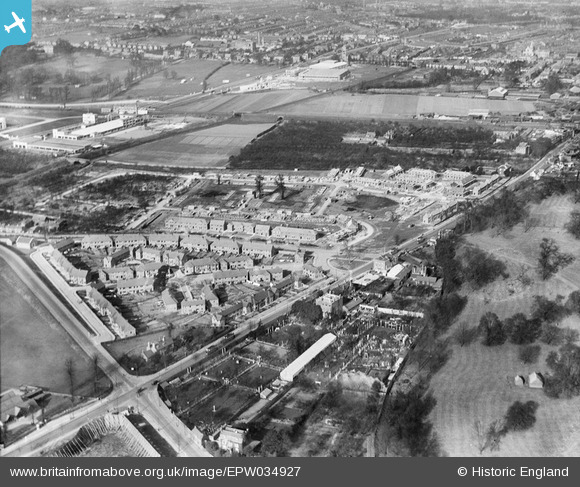
EPW034927 ENGLAND (1931). London Road and Spur Road crossroads and housing at Brentford End under construction, Brentford End, 1931
© Copyright OpenStreetMap contributors and licensed by the OpenStreetMap Foundation. 2026. Cartography is licensed as CC BY-SA.
Nearby Images (3)
EPW034927

EPW034929

EPW034928

Details
| Title | [EPW034927] London Road and Spur Road crossroads and housing at Brentford End under construction, Brentford End, 1931 |
| Reference | EPW034927 |
| Date | March-1931 |
| Link | |
| Place name | BRENTFORD END |
| Parish | |
| District | |
| Country | ENGLAND |
| Easting / Northing | 516719, 177056 |
| Longitude / Latitude | -0.31900211436693, 51.479917026682 |
| National Grid Reference | TQ167771 |
Pins

CJC |
Monday 10th of April 2023 09:03:20 AM | |
|
YvonneD |
Wednesday 10th of June 2015 12:44:49 AM | |
|
YvonneD |
Tuesday 2nd of June 2015 01:18:38 PM | |
|
Isleworth1961 |
Wednesday 6th of February 2013 01:10:51 PM | |
|
HW64 |
Thursday 10th of January 2013 10:07:07 PM | |
|
HW64 |
Thursday 10th of January 2013 10:04:51 PM |