
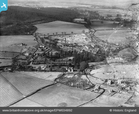
EPW034892 ENGLAND (1931). H.F. Warner Star Works (Brick and Tile) and environs, Knowl, Hill, from the south-east, 1931
© Copyright OpenStreetMap contributors and licensed by the OpenStreetMap Foundation. 2026. Cartography is licensed as CC BY-SA.
Nearby Images (2)
EPW034892
 and environs, Knowl, Hill, from the south-east, 1931")
EPW034891
, Knowl, Hill, 1931")
Details
| Title | [EPW034892] H.F. Warner Star Works (Brick and Tile) and environs, Knowl, Hill, from the south-east, 1931 |
| Reference | EPW034892 |
| Date | March-1931 |
| Link | |
| Place name | KNOWL HILL |
| Parish | WARGRAVE |
| District | |
| Country | ENGLAND |
| Easting / Northing | 482141, 179200 |
| Longitude / Latitude | -0.81636027160963, 51.50527312956 |
| National Grid Reference | SU821792 |
Pins
Be the first to add a comment to this image!