
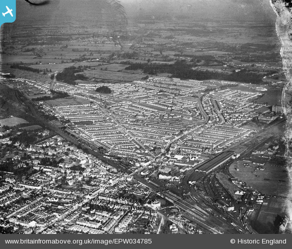
EPW034785 ENGLAND (1931). Residential area around St Albans Road and Leavesden Road, North Watford, from the south, 1931
© Copyright OpenStreetMap contributors and licensed by the OpenStreetMap Foundation. 2026. Cartography is licensed as CC BY-SA.
Nearby Images (2)
EPW034785

EPW034771

Details
| Title | [EPW034785] Residential area around St Albans Road and Leavesden Road, North Watford, from the south, 1931 |
| Reference | EPW034785 |
| Date | January-1931 |
| Link | |
| Place name | NORTH WATFORD |
| Parish | |
| District | |
| Country | ENGLAND |
| Easting / Northing | 510847, 197783 |
| Longitude / Latitude | -0.3969930201337, 51.667411105985 |
| National Grid Reference | TQ108978 |
Pins
Be the first to add a comment to this image!