
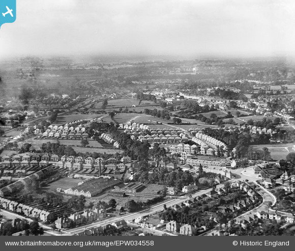
EPW034558 ENGLAND (1930). The Rawlplug Works and housing around Sefton Avenue, Edgware, from the north-east, 1930
© Copyright OpenStreetMap contributors and licensed by the OpenStreetMap Foundation. 2026. Cartography is licensed as CC BY-SA.
Nearby Images (13)
EPW034558

EPW016834

EPW016838

EPW016836

EPW016841

EPW016832

EPW016840

EPW016835

EPW016833

EPW016837

EPW016839

EPW035552

EPW034559

Details
| Title | [EPW034558] The Rawlplug Works and housing around Sefton Avenue, Edgware, from the north-east, 1930 |
| Reference | EPW034558 |
| Date | August-1930 |
| Link | |
| Place name | EDGWARE |
| Parish | |
| District | |
| Country | ENGLAND |
| Easting / Northing | 520636, 192209 |
| Longitude / Latitude | -0.25741977210314, 51.615294518145 |
| National Grid Reference | TQ206922 |
Pins
Be the first to add a comment to this image!