
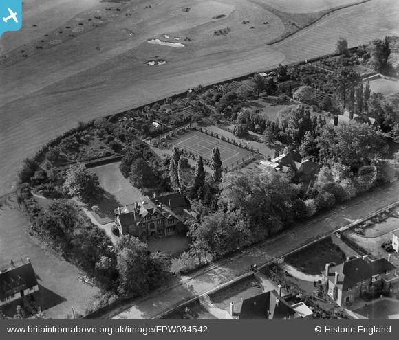
EPW034542 ENGLAND (1930). Houses on Gordon Avenue, Stanmore, 1930
© Copyright OpenStreetMap contributors and licensed by the OpenStreetMap Foundation. 2026. Cartography is licensed as CC BY-SA.
Nearby Images (5)
EPW034542

EPW034543

EPW034545

EPW034541

EPW034544

Details
| Title | [EPW034542] Houses on Gordon Avenue, Stanmore, 1930 |
| Reference | EPW034542 |
| Date | August-1930 |
| Link | |
| Place name | STANMORE |
| Parish | |
| District | |
| Country | ENGLAND |
| Easting / Northing | 516633, 191496 |
| Longitude / Latitude | -0.31545281133813, 51.609729562345 |
| National Grid Reference | TQ166915 |
Pins
Be the first to add a comment to this image!
User Comment Contributions

Dr Alister Mackenzie bunkering on the 1st/18th hole. |

Lee P |
Monday 11th of November 2013 12:17:52 PM |