
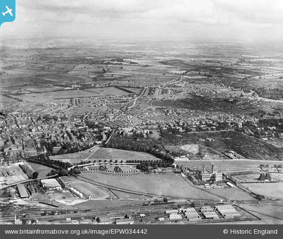
EPW034442 ENGLAND (1930). The town, Northampton, from the south-west, 1930
© Copyright OpenStreetMap contributors and licensed by the OpenStreetMap Foundation. 2026. Cartography is licensed as CC BY-SA.
Nearby Images (3)
EPW034442

EPW029036

EPW045593

Details
| Title | [EPW034442] The town, Northampton, from the south-west, 1930 |
| Reference | EPW034442 |
| Date | August-1930 |
| Link | |
| Place name | NORTHAMPTON |
| Parish | |
| District | |
| Country | ENGLAND |
| Easting / Northing | 476041, 259882 |
| Longitude / Latitude | -0.88647024492543, 52.231479950826 |
| National Grid Reference | SP760599 |
Pins

John W |
Sunday 7th of August 2016 09:53:41 PM | |

78 Derngate |
Saturday 8th of March 2014 07:21:53 PM | |
|
Euclid |
Tuesday 8th of October 2013 03:27:55 AM | |
|
Euclid |
Thursday 12th of September 2013 10:51:38 AM | |
|
Euclid |
Thursday 12th of September 2013 10:50:16 AM | |
|
Euclid |
Thursday 12th of September 2013 10:48:21 AM | |
|
Euclid |
Thursday 12th of September 2013 10:47:16 AM | |
|
Euclid |
Friday 1st of March 2013 01:54:52 AM | |
|
Euclid |
Friday 1st of March 2013 01:53:55 AM |