
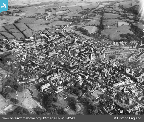
EPW034243 ENGLAND (1930). The town centre, Leek, from the north-west, 1930
© Copyright OpenStreetMap contributors and licensed by the OpenStreetMap Foundation. 2026. Cartography is licensed as CC BY-SA.
Nearby Images (2)
EPW034243

EPW034242

Details
| Title | [EPW034243] The town centre, Leek, from the north-west, 1930 |
| Reference | EPW034243 |
| Date | July-1930 |
| Link | |
| Place name | LEEK |
| Parish | LEEK |
| District | |
| Country | ENGLAND |
| Easting / Northing | 398483, 356703 |
| Longitude / Latitude | -2.0226629144311, 53.107220142134 |
| National Grid Reference | SJ985567 |
