
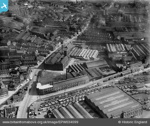
EPW034099 ENGLAND (1930). The Railway Engineering Works, the Crown Point Printing Works and Hunslet Road, Pottery Field, 1930
© Copyright OpenStreetMap contributors and licensed by the OpenStreetMap Foundation. 2026. Cartography is licensed as CC BY-SA.
Nearby Images (21)
EPW034099

EPW031642

EPW034097

EAW038458

EPW034096

EAW038459

EPW034095

EPW031644

EPW031643

EPW034098

EAW038461

EAW038460

EAW038455

EAW015962

EAW038452

EAW015960

EAW015961

EAW015963

EAW015965

EAW015966

EAW015964

Details
| Title | [EPW034099] The Railway Engineering Works, the Crown Point Printing Works and Hunslet Road, Pottery Field, 1930 |
| Reference | EPW034099 |
| Date | July-1930 |
| Link | |
| Place name | POTTERY FIELD |
| Parish | |
| District | |
| Country | ENGLAND |
| Easting / Northing | 430608, 432555 |
| Longitude / Latitude | -1.5353642671672, 53.788196780278 |
| National Grid Reference | SE306326 |

