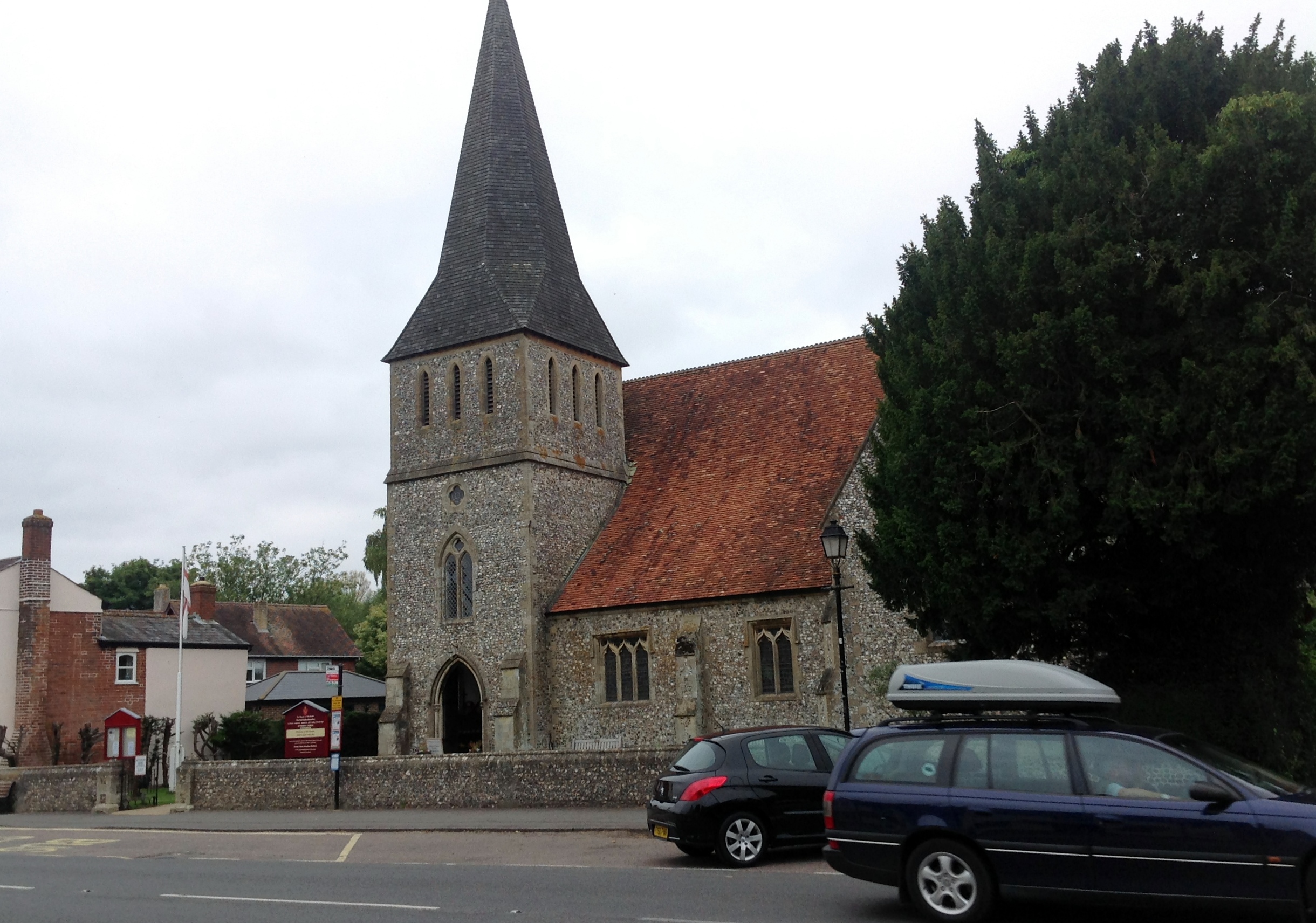
EPW033727 ENGLAND (1930). The town, Stockbridge, from the south-west, 1930

© Copyright OpenStreetMap contributors and licensed by the OpenStreetMap Foundation. 2026. Cartography is licensed as CC BY-SA.
Nearby Images (2)
EPW033727

EPW033728

Details
| Title | [EPW033727] The town, Stockbridge, from the south-west, 1930 |
| Reference | EPW033727 |
| Date | July-1930 |
| Link | |
| Place name | STOCKBRIDGE |
| Parish | STOCKBRIDGE |
| District | |
| Country | ENGLAND |
| Easting / Northing | 435274, 134914 |
| Longitude / Latitude | -1.4960408621593, 51.111904114583 |
| National Grid Reference | SU353349 |
Pins

chainbull |
Saturday 2nd of August 2014 11:21:27 AM |