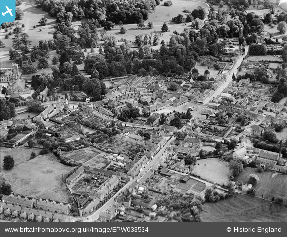
EPW033534 ENGLAND (1930). The town centre, Wilton, 1930
© Copyright OpenStreetMap contributors and licensed by the OpenStreetMap Foundation. 2026. Cartography is licensed as CC BY-SA.
Nearby Images (9)
EPW033534

EPW011127

EPW033528

EAW051982

EPW011194

EPW033531

EAW051985

EPW033530

EPW033555

Details
| Title | [EPW033534] The town centre, Wilton, 1930 |
| Reference | EPW033534 |
| Date | July-1930 |
| Link | |
| Place name | WILTON |
| Parish | WILTON |
| District | |
| Country | ENGLAND |
| Easting / Northing | 409731, 131195 |
| Longitude / Latitude | -1.8610709416664, 51.079462049158 |
| National Grid Reference | SU097312 |
Pins

Class31 |
Wednesday 30th of July 2014 06:31:09 PM | |
|
Class31 |
Wednesday 30th of July 2014 06:30:04 PM | |
|
Class31 |
Monday 15th of April 2013 10:40:40 PM | |
|
Class31 |
Monday 15th of April 2013 10:40:02 PM | |
|
Class31 |
Monday 15th of April 2013 10:38:58 PM | |
|
Class31 |
Monday 15th of April 2013 10:38:37 PM | |
|
Class31 |
Monday 15th of April 2013 09:25:38 PM | |
|
Class31 |
Monday 15th of April 2013 09:24:42 PM | |
|
Class31 |
Monday 15th of April 2013 09:23:51 PM |