
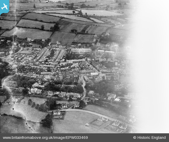
EPW033469 ENGLAND (1930). The town centre, Dawlish, 1930. This image has been affected by flare.
© Copyright OpenStreetMap contributors and licensed by the OpenStreetMap Foundation. 2026. Cartography is licensed as CC BY-SA.
Nearby Images (8)
EPW033469

EPW023672

EPW033471

EPW033470

EPW023661

EAW015001

EAW007657

EPW023671

Details
| Title | [EPW033469] The town centre, Dawlish, 1930. This image has been affected by flare. |
| Reference | EPW033469 |
| Date | July-1930 |
| Link | |
| Place name | DAWLISH |
| Parish | DAWLISH |
| District | |
| Country | ENGLAND |
| Easting / Northing | 295895, 76788 |
| Longitude / Latitude | -3.4705863869239, 50.5809499932 |
| National Grid Reference | SX959768 |


