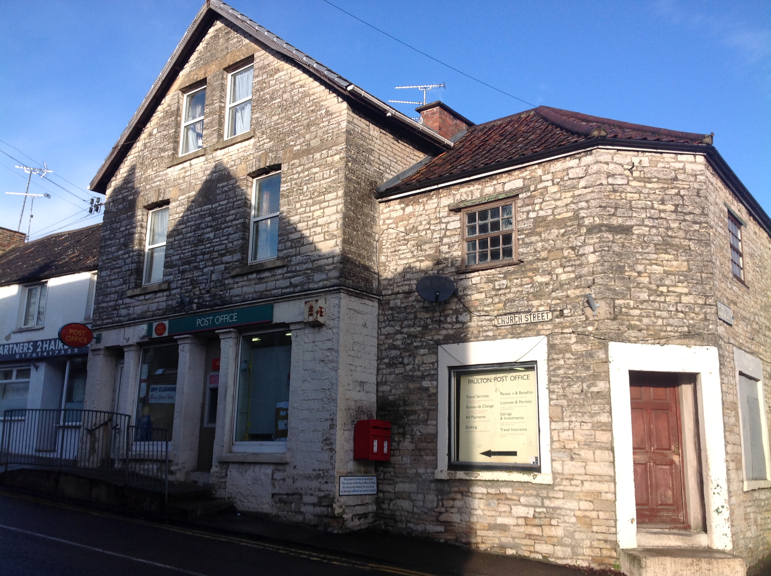
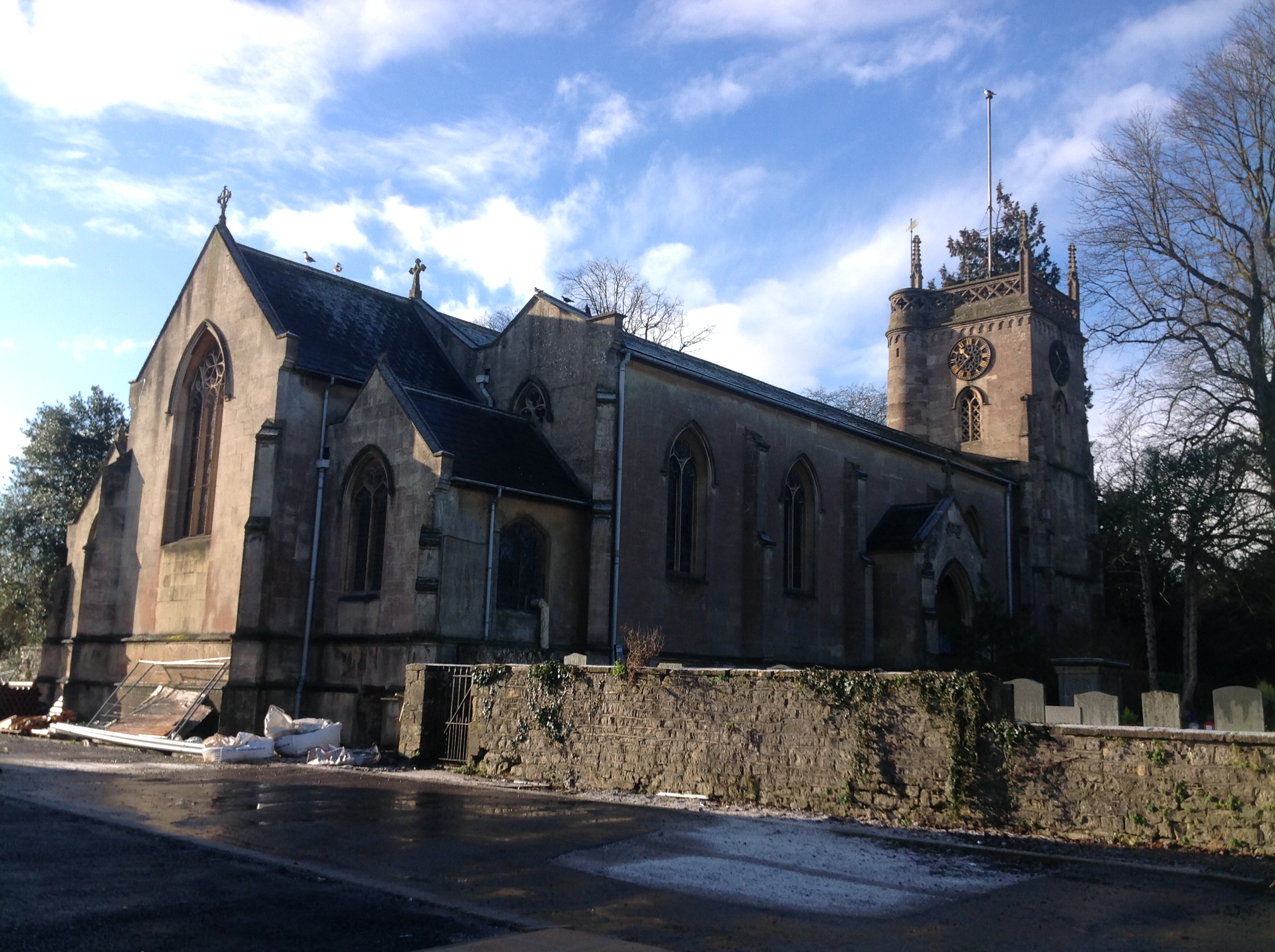
EPW033304 ENGLAND (1930). Church Street and environs, Paulton, 1930

© Copyright OpenStreetMap contributors and licensed by the OpenStreetMap Foundation. 2026. Cartography is licensed as CC BY-SA.
Nearby Images (21)
EPW033304

EPW060100

EPW033302

EAW047200

EAW047196

EAW047203

EPR000116

EPR000117

EPR000119

EAW047199

EPW060104

EAW047202

EPR000118

EAW047198

EPW060102

EPW060103

EAW047195

EPW033303

EAW047197

EAW047204

EAW047201

Details
| Title | [EPW033304] Church Street and environs, Paulton, 1930 |
| Reference | EPW033304 |
| Date | July-1930 |
| Link | |
| Place name | PAULTON |
| Parish | PAULTON |
| District | |
| Country | ENGLAND |
| Easting / Northing | 365003, 156618 |
| Longitude / Latitude | -2.5021198839961, 51.307096702988 |
| National Grid Reference | ST650566 |