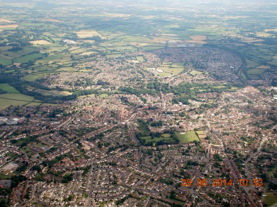
EPW033179 ENGLAND (1930). St John the Baptist's Church and environs, Frome, 1930

© Copyright OpenStreetMap contributors and licensed by the OpenStreetMap Foundation. 2026. Cartography is licensed as CC BY-SA.
Nearby Images (4)
EPW033179

EPW033180

EPW033210

EPW014688

Details
| Title | [EPW033179] St John the Baptist's Church and environs, Frome, 1930 |
| Reference | EPW033179 |
| Date | July-1930 |
| Link | |
| Place name | FROME |
| Parish | FROME |
| District | |
| Country | ENGLAND |
| Easting / Northing | 377687, 147957 |
| Longitude / Latitude | -2.3195992326695, 51.229849562374 |
| National Grid Reference | ST777480 |
Pins

DamonCharles |
Tuesday 2nd of March 2021 03:46:55 PM | |
 |
Dickon Moore |
Monday 29th of September 2014 04:00:06 PM |
|
KeithFP |
Monday 26th of August 2013 11:47:33 AM | |

Class31 |
Tuesday 25th of June 2013 05:25:38 PM | |
|
Class31 |
Wednesday 30th of January 2013 10:54:01 AM | |
|
Class31 |
Wednesday 30th of January 2013 10:46:07 AM | |
|
Class31 |
Saturday 26th of January 2013 08:45:04 PM |