
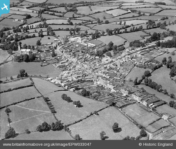
EPW033047 ENGLAND (1930). The town and surrounding countryside, Modbury, 1930
© Copyright OpenStreetMap contributors and licensed by the OpenStreetMap Foundation. 2025. Cartography is licensed as CC BY-SA.
Nearby Images (12)
EPW033047

EPW023748

EPW033044

EPW033043

EPW023747

EPW023745

EPW023741

EPW023746

EPW033045

EPW023742

EPW033046

EPW023744

Details
| Title | [EPW033047] The town and surrounding countryside, Modbury, 1930 |
| Reference | EPW033047 |
| Date | July-1930 |
| Link | |
| Place name | MODBURY |
| Parish | MODBURY |
| District | |
| Country | ENGLAND |
| Easting / Northing | 265850, 51617 |
| Longitude / Latitude | -3.8857602198617, 50.348552989739 |
| National Grid Reference | SX659516 |
Pins
Be the first to add a comment to this image!