
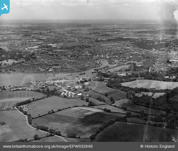
EPW032848 ENGLAND (1930). The docks and town, Ipswich, from the south-east, 1930
© Copyright OpenStreetMap contributors and licensed by the OpenStreetMap Foundation. 2026. Cartography is licensed as CC BY-SA.
Nearby Images (6)
EPW032848

EPW032843

EPW032842

EPW032852

EPW032862

EPW032861

Details
| Title | [EPW032848] The docks and town, Ipswich, from the south-east, 1930 |
| Reference | EPW032848 |
| Date | June-1930 |
| Link | |
| Place name | IPSWICH |
| Parish | |
| District | |
| Country | ENGLAND |
| Easting / Northing | 617438, 242511 |
| Longitude / Latitude | 1.1706895844289, 52.037870387705 |
| National Grid Reference | TM174425 |
Pins
Be the first to add a comment to this image!