
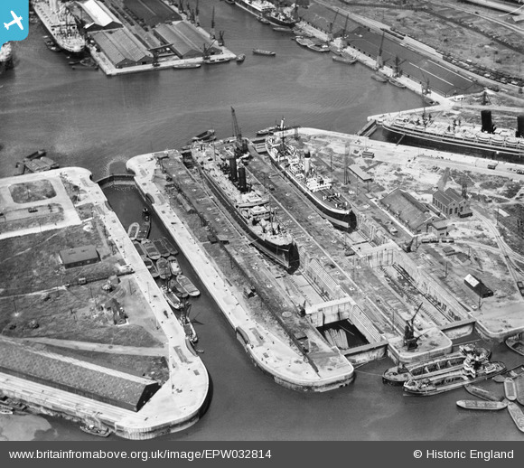
EPW032814 ENGLAND (1930). The Dry Docks, Tilbury, 1930
© Copyright OpenStreetMap contributors and licensed by the OpenStreetMap Foundation. 2026. Cartography is licensed as CC BY-SA.
Nearby Images (14)
EPW032814

EPW032813

EAR036175

EAW028811

EAW042098

EAW053225

EAW053229

EPR000362

EAW053226

EAW034858

EAW053228

EAW053230

EAW053227

EPW032815

Details
| Title | [EPW032814] The Dry Docks, Tilbury, 1930 |
| Reference | EPW032814 |
| Date | 19-June-1930 |
| Link | |
| Place name | TILBURY |
| Parish | |
| District | |
| Country | ENGLAND |
| Easting / Northing | 563856, 175465 |
| Longitude / Latitude | 0.35860203195228, 51.453932015258 |
| National Grid Reference | TQ639755 |
Pins
Be the first to add a comment to this image!