
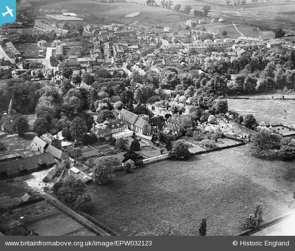
EPW032123 ENGLAND (1930). All Saints' Church and the town, Orpington, 1930
© Copyright OpenStreetMap contributors and licensed by the OpenStreetMap Foundation. 2026. Cartography is licensed as CC BY-SA.
Nearby Images (10)
EPW032123

EPW032116

EPW032122

EPW032124

EPW032118

EPW032117

EPW032131

EPW032130

EPW032120

EPW032121

Details
| Title | [EPW032123] All Saints' Church and the town, Orpington, 1930 |
| Reference | EPW032123 |
| Date | May-1930 |
| Link | |
| Place name | ORPINGTON |
| Parish | |
| District | |
| Country | ENGLAND |
| Easting / Northing | 546670, 166434 |
| Longitude / Latitude | 0.10767425952595, 51.377488610109 |
| National Grid Reference | TQ467664 |
Pins

Broom1 |
Tuesday 16th of February 2016 09:59:59 PM |