
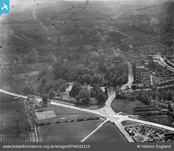
EPW032119 ENGLAND (1930). The Priory Gardens and environs, Orpington, 1930
© Copyright OpenStreetMap contributors and licensed by the OpenStreetMap Foundation. 2026. Cartography is licensed as CC BY-SA.
Nearby Images (10)
EPW032119

EPW032117

EPW032131

EPW032121

EPW032120

EPW032130

EPW032124

EPW032122

EPW032116

EPW032118

Details
| Title | [EPW032119] The Priory Gardens and environs, Orpington, 1930 |
| Reference | EPW032119 |
| Date | May-1930 |
| Link | |
| Place name | ORPINGTON |
| Parish | |
| District | |
| Country | ENGLAND |
| Easting / Northing | 546690, 166751 |
| Longitude / Latitude | 0.10809236691997, 51.380332194521 |
| National Grid Reference | TQ467668 |
