
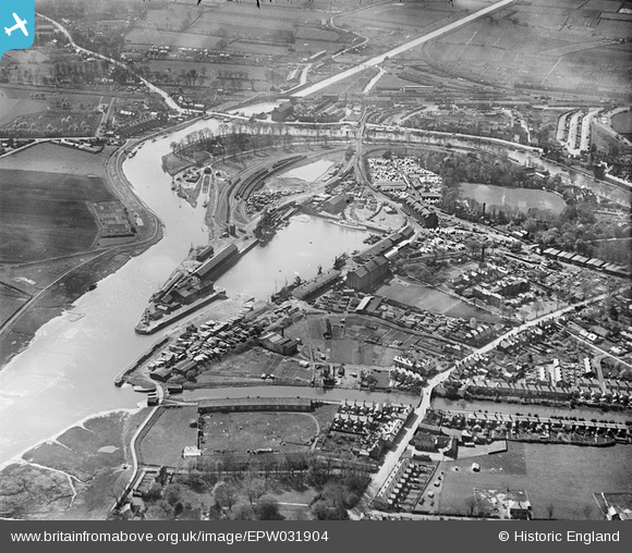
EPW031904 ENGLAND (1930). Boston Dock and environs, Boston, 1930
© Copyright OpenStreetMap contributors and licensed by the OpenStreetMap Foundation. 2026. Cartography is licensed as CC BY-SA.
Nearby Images (10)
EPW031904

EAW046593

EAW046592

EAW046599

EPW031903

EAW046595

EAW046594

EAW046597

EAW046596

EAW046598

Details
| Title | [EPW031904] Boston Dock and environs, Boston, 1930 |
| Reference | EPW031904 |
| Date | May-1930 |
| Link | |
| Place name | BOSTON |
| Parish | |
| District | |
| Country | ENGLAND |
| Easting / Northing | 533219, 343131 |
| Longitude / Latitude | -0.016063635919617, 52.968651927995 |
| National Grid Reference | TF332431 |
Pins

Sarah |
Monday 6th of April 2020 03:21:06 PM |