
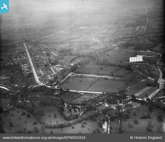
EPW031816 ENGLAND (1930). St Helier and environs, Morden, from the north-east, 1930
© Copyright OpenStreetMap contributors and licensed by the OpenStreetMap Foundation. 2026. Cartography is licensed as CC BY-SA.
Nearby Images (3)
EPW031816

EPW016578

EPW016578
Details
| Title | [EPW031816] St Helier and environs, Morden, from the north-east, 1930 |
| Reference | EPW031816 |
| Date | May-1930 |
| Link | |
| Place name | MORDEN |
| Parish | |
| District | |
| Country | ENGLAND |
| Easting / Northing | 526080, 168384 |
| Longitude / Latitude | -0.18734315381945, 51.39996292298 |
| National Grid Reference | TQ261684 |
Pins

Healzo |
Tuesday 28th of January 2020 09:19:01 AM | |
|
Leslie B |
Friday 11th of March 2016 03:54:12 PM | |
|
wessexpig |
Monday 30th of September 2013 07:49:06 PM | |
|
Johnners |
Friday 27th of September 2013 01:53:18 PM | |
|
Johnners |
Friday 27th of September 2013 01:51:52 PM | |
|
Dave Smith |
Tuesday 18th of June 2013 12:33:45 PM | |
|
Dave Smith |
Tuesday 18th of June 2013 12:33:12 PM | |
|
Dave Smith |
Tuesday 18th of June 2013 12:32:12 PM | |
Certainly a 'High' street but part of London Road Morden I think. |
Johnners |
Friday 27th of September 2013 01:55:13 PM |
|
Dave Smith |
Tuesday 18th of June 2013 12:31:45 PM | |
|
Dave Smith |
Tuesday 18th of June 2013 12:31:25 PM | |
|
Steve |
Thursday 3rd of January 2013 03:05:07 PM |