
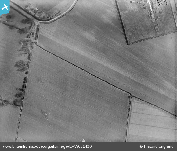
EPW031426 ENGLAND (1930). Seavy Lane and surrounding fields, Goole, 1930
© Copyright OpenStreetMap contributors and licensed by the OpenStreetMap Foundation. 2026. Cartography is licensed as CC BY-SA.
Nearby Images (2)
EPW031426

EPW031427

Details
| Title | [EPW031426] Seavy Lane and surrounding fields, Goole, 1930 |
| Reference | EPW031426 |
| Date | February-1930 |
| Link | |
| Place name | GOOLE |
| Parish | GOOLE |
| District | |
| Country | ENGLAND |
| Easting / Northing | 473470, 423432 |
| Longitude / Latitude | -0.88697542658586, 53.701919197786 |
| National Grid Reference | SE735234 |
Pins
Be the first to add a comment to this image!