
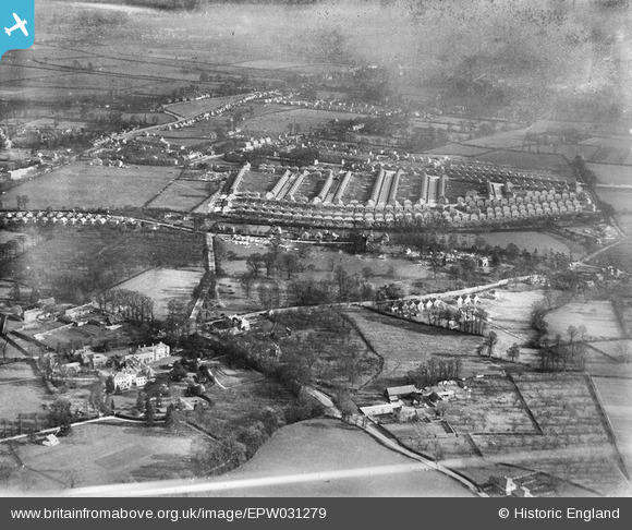
EPW031279 ENGLAND (1930). Wood End Green and environs, Hayes, 1930
© Copyright OpenStreetMap contributors and licensed by the OpenStreetMap Foundation. 2026. Cartography is licensed as CC BY-SA.
Nearby Images (3)
EPW031279

EPW031280

EPW040956

Details
| Title | [EPW031279] Wood End Green and environs, Hayes, 1930 |
| Reference | EPW031279 |
| Date | 11-February-1930 |
| Link | |
| Place name | HAYES |
| Parish | |
| District | |
| Country | ENGLAND |
| Easting / Northing | 508132, 181450 |
| Longitude / Latitude | -0.44127460033026, 51.52112261088 |
| National Grid Reference | TQ081815 |
Pins

bmwtouring |
Wednesday 19th of November 2014 03:58:06 PM | |
|
bmwtouring |
Wednesday 19th of November 2014 03:57:33 PM | |
|
bmwtouring |
Wednesday 19th of November 2014 03:57:00 PM | |
|
JamesD |
Sunday 16th of November 2014 10:36:14 PM | |
|
Malcolm Pool |
Monday 18th of August 2014 12:12:04 PM |