
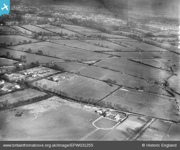
EPW031255 ENGLAND (1930). The Cavendish Recreation Ground and environs, Eastcote, from the south-west, 1930.
© Copyright OpenStreetMap contributors and licensed by the OpenStreetMap Foundation. 2026. Cartography is licensed as CC BY-SA.
Nearby Images (5)
EPW031255

EPW031246

EPW031248

EPW044506

EPW031254

Details
| Title | [EPW031255] The Cavendish Recreation Ground and environs, Eastcote, from the south-west, 1930. |
| Reference | EPW031255 |
| Date | 7-February-1930 |
| Link | |
| Place name | EASTCOTE |
| Parish | |
| District | |
| Country | ENGLAND |
| Easting / Northing | 511318, 187281 |
| Longitude / Latitude | -0.39352215567272, 51.572917830717 |
| National Grid Reference | TQ113873 |
Pins
User Comment Contributions
Eastcote was in Middlesex. |

Class31 |
Monday 22nd of October 2012 12:07:56 PM |