
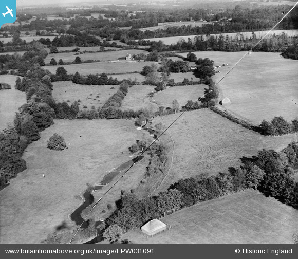
EPW031091 ENGLAND (1929). Farmland to the east of St Lawrence's Church, Ecchinswell, 1929. This image has been produced from a damaged negative.
© Copyright OpenStreetMap contributors and licensed by the OpenStreetMap Foundation. 2026. Cartography is licensed as CC BY-SA.
Nearby Images (4)
EPW031091

EPW031093

EPW031090

EPW031094

Details
| Title | [EPW031091] Farmland to the east of St Lawrence's Church, Ecchinswell, 1929. This image has been produced from a damaged negative. |
| Reference | EPW031091 |
| Date | October-1929 |
| Link | |
| Place name | ECCHINSWELL |
| Parish | ECCHINSWELL, SYDMONTON AND BISHOPS GREEN |
| District | |
| Country | ENGLAND |
| Easting / Northing | 450534, 159981 |
| Longitude / Latitude | -1.2745021019253, 51.336169199654 |
| National Grid Reference | SU505600 |
Pins

Class31 |
Tuesday 4th of June 2013 09:32:43 AM | |

Rebecca |
Wednesday 9th of January 2013 04:56:15 PM | |
|
Rebecca |
Wednesday 9th of January 2013 04:53:18 PM | |
|
Rebecca |
Wednesday 9th of January 2013 04:12:24 PM | |
|
Rebecca |
Wednesday 9th of January 2013 04:12:10 PM | |
|
dave43 |
Sunday 28th of October 2012 08:40:09 PM | |
Hi Dave43 - yes, those are the same aircraft. Yours, Katy |
Katy Whitaker |
Friday 31st of May 2013 11:14:19 AM |
User Comment Contributions
Ecchinswell, near Newbury, looking northeast |
Tony D |
Tuesday 2nd of July 2013 11:52:07 AM |
Thanks for the location for this image and those others in the run. We'll update the catalogue and post the new record here in due course. Yours, Katy Britain from Above Cataloguing Team Leader |
Katy Whitaker |
Tuesday 2nd of July 2013 11:52:07 AM |
One of a series of 10 photos, EPW031086A, EPW031087A, EPW031088-EPW031091 and EPW031093-EPW031096. Manor House 2 appears to be the focus as it is featured in three closeups (EPW031086A, EPW031087A, EPW031088) so this may have been where the air meet was based. |
Rebecca |
Wednesday 9th of January 2013 04:22:35 PM |