
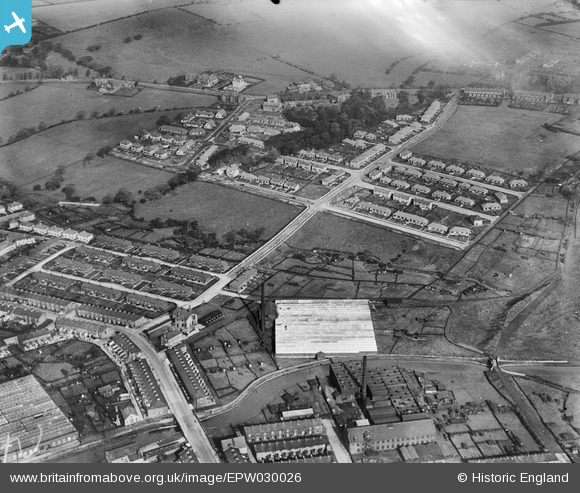
EPW030026 ENGLAND (1929). Lockyer Avenue, Waterside Cotton Mill and environs, Burnley, 1929
© Copyright OpenStreetMap contributors and licensed by the OpenStreetMap Foundation. 2026. Cartography is licensed as CC BY-SA.
Nearby Images (4)
EPW030026

EPW030025

EPW030023

EPW030024

Details
| Title | [EPW030026] Lockyer Avenue, Waterside Cotton Mill and environs, Burnley, 1929 |
| Reference | EPW030026 |
| Date | October-1929 |
| Link | |
| Place name | BURNLEY |
| Parish | |
| District | |
| Country | ENGLAND |
| Easting / Northing | 381650, 432987 |
| Longitude / Latitude | -2.2785857309592, 53.792656584667 |
| National Grid Reference | SD817330 |
Pins

wadey |
Wednesday 12th of November 2014 10:38:15 AM |