
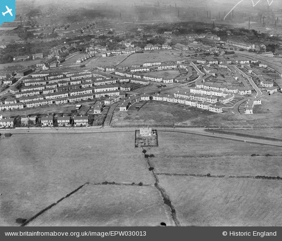
EPW030013 ENGLAND (1929). The Rose Hill Estate, Burnley, 1929
© Copyright OpenStreetMap contributors and licensed by the OpenStreetMap Foundation. 2026. Cartography is licensed as CC BY-SA.
Nearby Images (5)
EPW030013

EPW030016

EPW030015

EPW030014

EPW030017

Details
| Title | [EPW030013] The Rose Hill Estate, Burnley, 1929 |
| Reference | EPW030013 |
| Date | October-1929 |
| Link | |
| Place name | BURNLEY |
| Parish | |
| District | |
| Country | ENGLAND |
| Easting / Northing | 383680, 430949 |
| Longitude / Latitude | -2.2476591478374, 53.774404733769 |
| National Grid Reference | SD837309 |
Pins

BfA events |
Monday 22nd of April 2013 03:00:43 PM |