
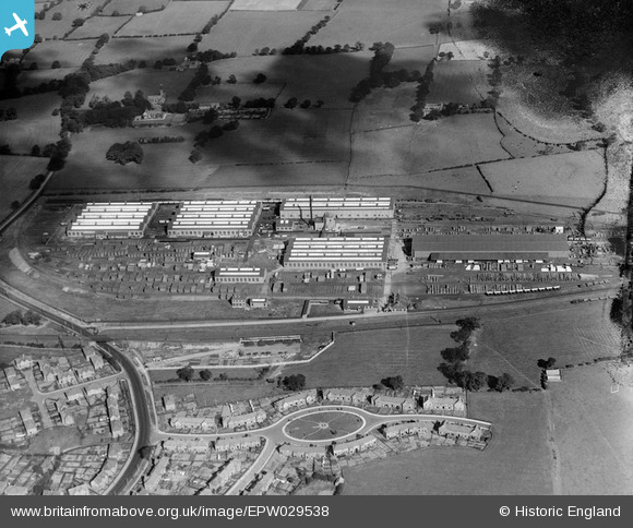
EPW029538 ENGLAND (1929). The Faverdale Wagon Works and environs, Darlington, 1929
© Copyright OpenStreetMap contributors and licensed by the OpenStreetMap Foundation. 2026. Cartography is licensed as CC BY-SA.
Nearby Images (2)
EPW029538

EPW029513

Details
| Title | [EPW029538] The Faverdale Wagon Works and environs, Darlington, 1929 |
| Reference | EPW029538 |
| Date | September-1929 |
| Link | |
| Place name | DARLINGTON |
| Parish | |
| District | |
| Country | ENGLAND |
| Easting / Northing | 427676, 516476 |
| Longitude / Latitude | -1.5721592368582, 54.542661040343 |
| National Grid Reference | NZ277165 |
Pins

Airlane1979 |
Sunday 5th of April 2026 04:38:57 PM | |
|
1980-f |
Sunday 19th of March 2017 06:18:36 PM | |
|
Chells809 |
Monday 24th of June 2013 10:28:53 PM | |

Class31 |
Friday 12th of April 2013 08:49:38 PM | |
|
Class31 |
Friday 12th of April 2013 08:49:03 PM | |
Faverdale Hall was used as a training centre by British Railways in the 1980s |
Chells809 |
Friday 12th of April 2013 10:41:32 PM |
|
Class31 |
Friday 12th of April 2013 08:47:27 PM | |
|
Class31 |
Friday 12th of April 2013 08:46:59 PM |