
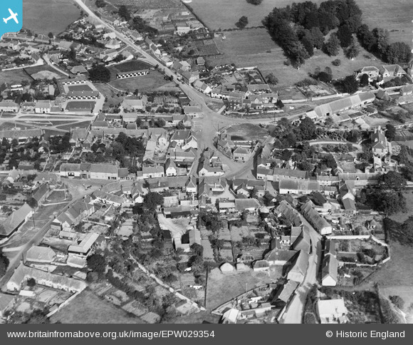
EPW029354 ENGLAND (1929). The Square and environs, Aldbourne, 1929
© Copyright OpenStreetMap contributors and licensed by the OpenStreetMap Foundation. 2026. Cartography is licensed as CC BY-SA.
Nearby Images (6)
EPW029354

EPW029352

EPW029351

EPW029353

EPW029350

EPW029355

Details
| Title | [EPW029354] The Square and environs, Aldbourne, 1929 |
| Reference | EPW029354 |
| Date | September-1929 |
| Link | |
| Place name | ALDBOURNE |
| Parish | ALDBOURNE |
| District | |
| Country | ENGLAND |
| Easting / Northing | 426423, 175632 |
| Longitude / Latitude | -1.6194765090245, 51.478542392522 |
| National Grid Reference | SU264756 |
Pins
Be the first to add a comment to this image!