
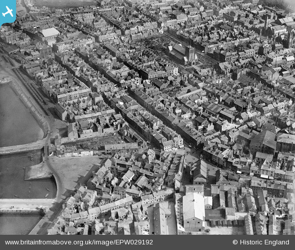
EPW029192 ENGLAND (1929). The town centre, Whitehaven, 1929
© Copyright OpenStreetMap contributors and licensed by the OpenStreetMap Foundation. 2026. Cartography is licensed as CC BY-SA.
Nearby Images (5)
EPW029192

EPW042099

EPW029186

EPW029185

EPW029189

Details
| Title | [EPW029192] The town centre, Whitehaven, 1929 |
| Reference | EPW029192 |
| Date | September-1929 |
| Link | |
| Place name | WHITEHAVEN |
| Parish | |
| District | |
| Country | ENGLAND |
| Easting / Northing | 297230, 518126 |
| Longitude / Latitude | -3.5889739206707, 54.547812881001 |
| National Grid Reference | NX972181 |
Pins
Be the first to add a comment to this image!
User Comment Contributions

The town centre Whitehaven, 1929 |

RachelPixieCreations |
Monday 21st of July 2014 04:43:36 PM |
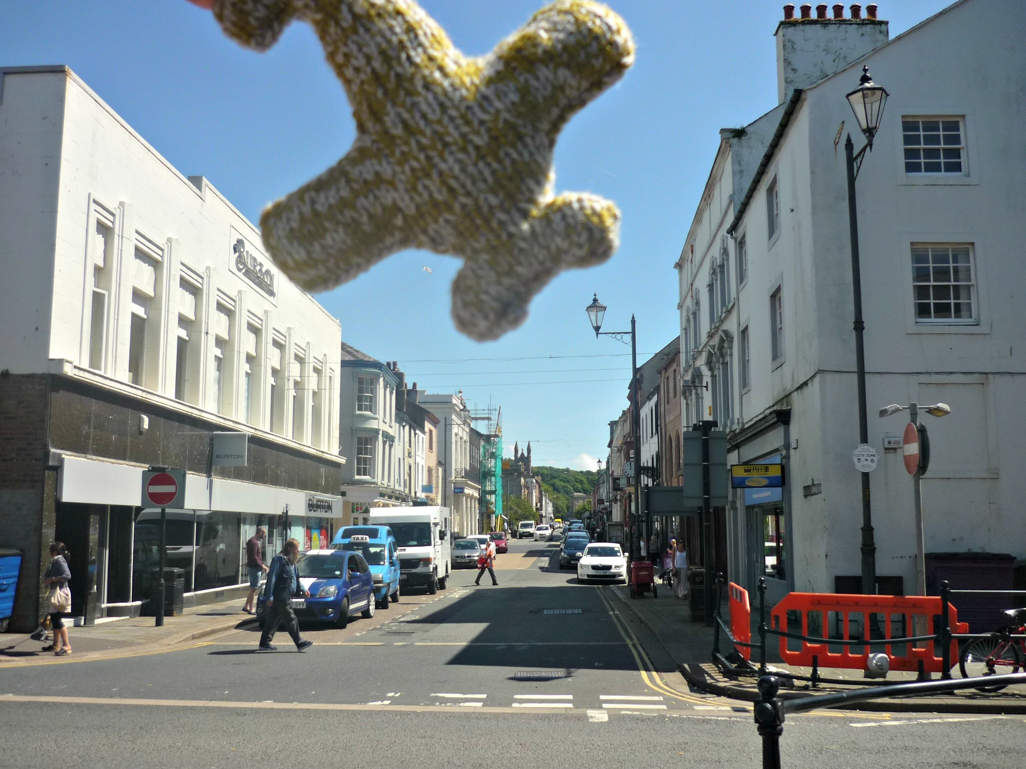
Woolly squadron spotted in the skies over Whitehaven! |
RachelPixieCreations |
Monday 21st of July 2014 04:43:36 PM |
|
1 |

MotoFreako64 |
Thursday 25th of October 2012 11:29:45 PM |