
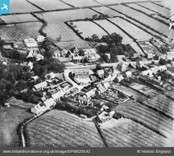
EPW029142 ENGLAND (1929). Porret Lane, the village school and environs, Hinderwell, 1929. This image has been produced from a copy-negative.
© Copyright OpenStreetMap contributors and licensed by the OpenStreetMap Foundation. 2026. Cartography is licensed as CC BY-SA.
Nearby Images (2)
EPW029142

EPW029140

Details
| Title | [EPW029142] Porret Lane, the village school and environs, Hinderwell, 1929. This image has been produced from a copy-negative. |
| Reference | EPW029142 |
| Date | September-1929 |
| Link | |
| Place name | HINDERWELL |
| Parish | HINDERWELL |
| District | |
| Country | ENGLAND |
| Easting / Northing | 479154, 516886 |
| Longitude / Latitude | -0.77639114472536, 54.540914503713 |
| National Grid Reference | NZ792169 |
Pins
Be the first to add a comment to this image!