
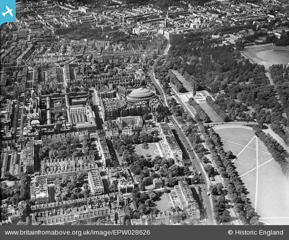
EPW028626 ENGLAND (1929). The Royal Albert Hall, the Imperial Institute and environs, Knightsbridge, 1929
© Copyright OpenStreetMap contributors and licensed by the OpenStreetMap Foundation. 2026. Cartography is licensed as CC BY-SA.
Nearby Images (22)
EPW028626

EAW030305

EPW057068

EAW015829

EAW021737

EPW059339

EAW000553

EPW005871

EPW011937

EPW019016

EAW015830

EAW028803

EAW024007

EAW034723

EAW034724

EPW017275

EPW039570

EAW015853

EAW034725

EAW033442

EPW006192

EPW039571

Details
| Title | [EPW028626] The Royal Albert Hall, the Imperial Institute and environs, Knightsbridge, 1929 |
| Reference | EPW028626 |
| Date | 30-August-1929 |
| Link | |
| Place name | KNIGHTSBRIDGE |
| Parish | |
| District | |
| Country | ENGLAND |
| Easting / Northing | 526720, 179584 |
| Longitude / Latitude | -0.17413459976732, 51.500486148859 |
| National Grid Reference | TQ267796 |
Pins

Bart |
Wednesday 21st of July 2021 01:19:40 PM | |
|
Bart |
Wednesday 21st of July 2021 01:06:52 PM | |
|
Bart |
Wednesday 21st of July 2021 12:48:39 PM | |

Alan McFaden |
Thursday 24th of July 2014 06:45:02 PM | |
|
Alan McFaden |
Thursday 24th of July 2014 06:42:46 PM | |
|
Alan McFaden |
Thursday 24th of July 2014 06:42:09 PM | |
|
Alan McFaden |
Thursday 24th of July 2014 06:41:13 PM | |
|
Alan McFaden |
Saturday 8th of February 2014 12:20:00 PM | |
|
Alan McFaden |
Saturday 8th of February 2014 12:17:31 PM | |
|
colindar |
Monday 25th of November 2013 11:09:35 PM | |
Photo shows Kingston House North which now stands on the site of, and takes its name from Kingston House, the mansion visible in the aerial photograph from 1929. |
colindar |
Monday 25th of November 2013 11:27:51 PM |
|
Aileen |
Saturday 23rd of November 2013 12:08:28 PM | |
|
Alan McFaden |
Friday 28th of June 2013 06:30:30 PM | |
|
Alan McFaden |
Monday 15th of April 2013 05:07:33 PM | |
|
Alan McFaden |
Monday 15th of April 2013 05:02:03 PM | |
|
Alan McFaden |
Monday 15th of April 2013 05:01:28 PM | |
|
Alan McFaden |
Monday 15th of April 2013 05:00:55 PM | |
|
b0ned0me |
Tuesday 5th of March 2013 09:27:13 PM | |
|
b0ned0me |
Tuesday 5th of March 2013 09:25:43 PM |


User Comment Contributions
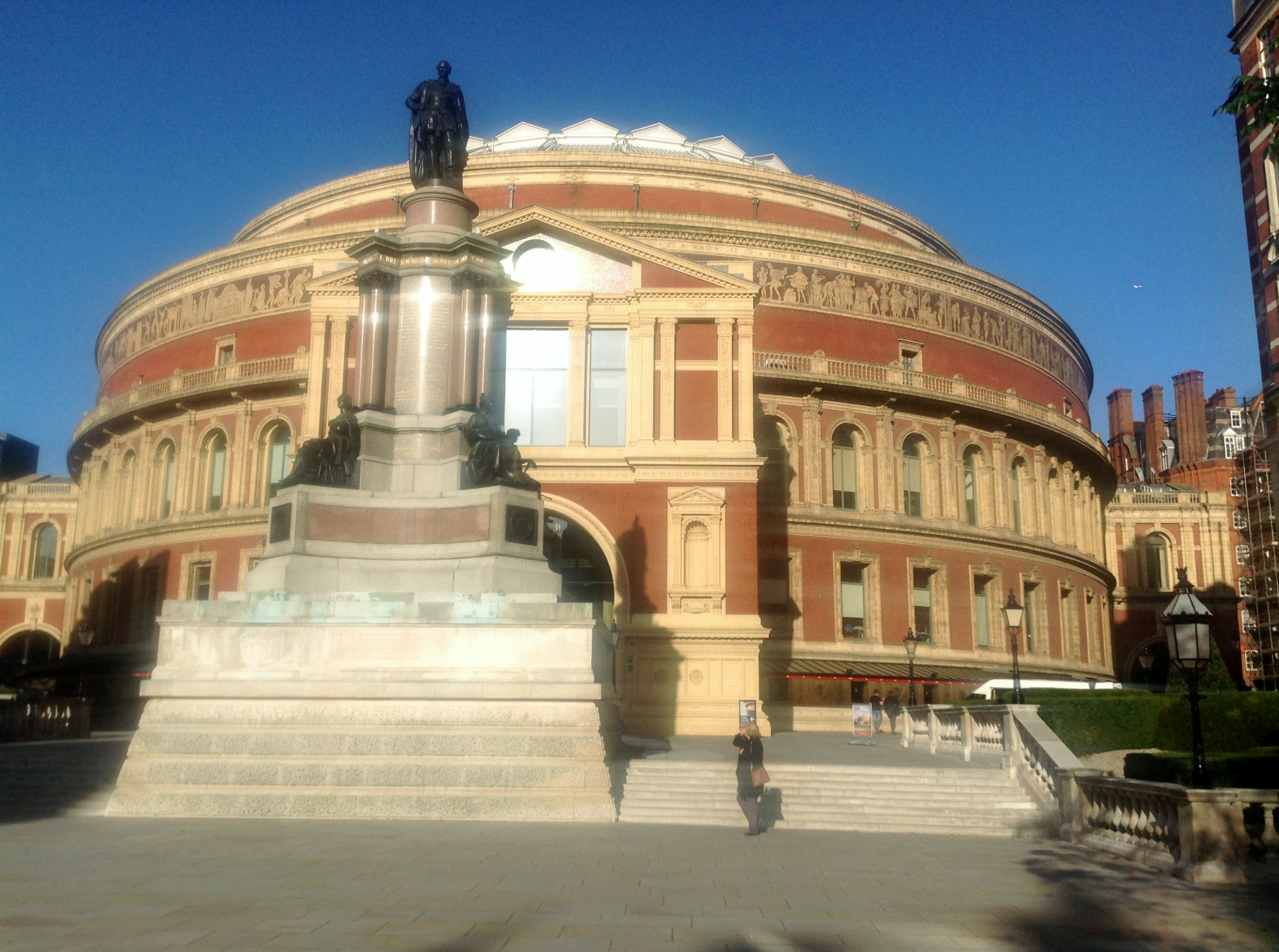
Royal Albert Hall |

Class31 |
Saturday 23rd of November 2013 04:35:15 PM |