
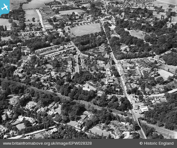
EPW028328 ENGLAND (1929). Queens Road and environs, Weybridge, 1929
© Copyright OpenStreetMap contributors and licensed by the OpenStreetMap Foundation. 2026. Cartography is licensed as CC BY-SA.
Nearby Images (4)
EPW028328

EPW028327

EPW017551

EPW028326

Details
| Title | [EPW028328] Queens Road and environs, Weybridge, 1929 |
| Reference | EPW028328 |
| Date | August-1929 |
| Link | |
| Place name | WEYBRIDGE |
| Parish | |
| District | |
| Country | ENGLAND |
| Easting / Northing | 508214, 164307 |
| Longitude / Latitude | -0.44533576898728, 51.367003876155 |
| National Grid Reference | TQ082643 |
Pins

richardj |
Thursday 2nd of March 2017 05:30:17 PM | |
|
richardj |
Thursday 2nd of March 2017 05:22:35 PM | |
|
Loopytait |
Tuesday 9th of August 2016 11:31:00 PM | |
|
Loopytait |
Tuesday 9th of August 2016 11:29:24 PM | |
|
mpg |
Sunday 10th of August 2014 03:22:22 PM | |
|
mpg |
Sunday 10th of August 2014 03:18:16 PM | |
|
mpg |
Sunday 10th of August 2014 03:17:08 PM |