
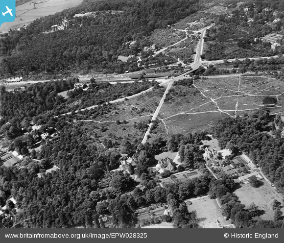
EPW028325 ENGLAND (1929). The station and The Heath, Weybridge, 1929
© Copyright OpenStreetMap contributors and licensed by the OpenStreetMap Foundation. 2026. Cartography is licensed as CC BY-SA.
Nearby Images (4)
EPW028325

EPW028324

EPW023386

EPW023389

Details
| Title | [EPW028325] The station and The Heath, Weybridge, 1929 |
| Reference | EPW028325 |
| Date | August-1929 |
| Link | |
| Place name | WEYBRIDGE |
| Parish | |
| District | |
| Country | ENGLAND |
| Easting / Northing | 507641, 163503 |
| Longitude / Latitude | -0.45380803351538, 51.359885284581 |
| National Grid Reference | TQ076635 |
Pins

richardj |
Friday 3rd of March 2017 06:05:08 PM | |
|
richardj |
Thursday 2nd of March 2017 07:32:17 PM | |
|
richardj |
Thursday 2nd of March 2017 07:31:35 PM | |
|
richardj |
Thursday 2nd of March 2017 07:31:01 PM | |
|
Paolo |
Sunday 23rd of June 2013 01:57:32 PM | |
|
Graham |
Tuesday 14th of May 2013 08:47:16 PM | |
|
Graham |
Tuesday 14th of May 2013 08:44:05 PM | |
|
Graham |
Tuesday 14th of May 2013 08:43:41 PM | |
|
Graham |
Tuesday 14th of May 2013 08:43:14 PM |