
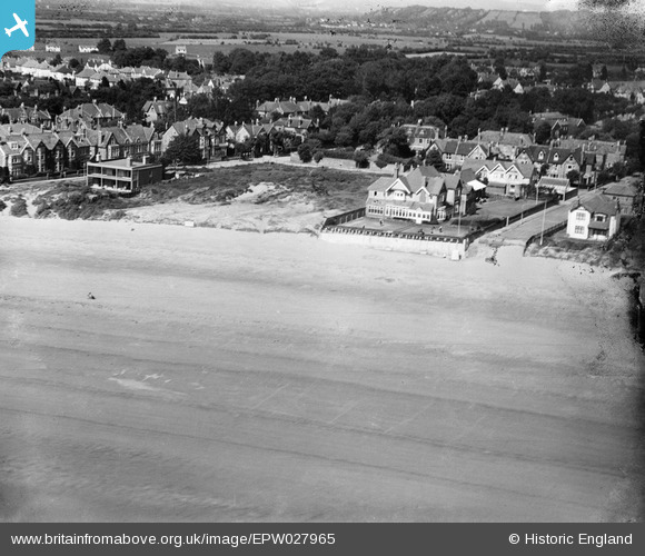
EPW027965 ENGLAND (1929). The seafront at Poplar Road and Grove Road, Burnham-on-Sea, 1929
© Copyright OpenStreetMap contributors and licensed by the OpenStreetMap Foundation. 2026. Cartography is licensed as CC BY-SA.
Nearby Images (3)
EPW027965

EPW027971

EPW059619

Details
| Title | [EPW027965] The seafront at Poplar Road and Grove Road, Burnham-on-Sea, 1929 |
| Reference | EPW027965 |
| Date | June-1929 |
| Link | |
| Place name | BURNHAM-ON-SEA |
| Parish | BURNHAM-ON-SEA AND HIGHBRIDGE |
| District | |
| Country | ENGLAND |
| Easting / Northing | 330291, 149800 |
| Longitude / Latitude | -2.9987594434306, 51.242598925796 |
| National Grid Reference | ST303498 |
Pins

AnniePalitoy |
Tuesday 2nd of December 2014 03:38:57 PM |