
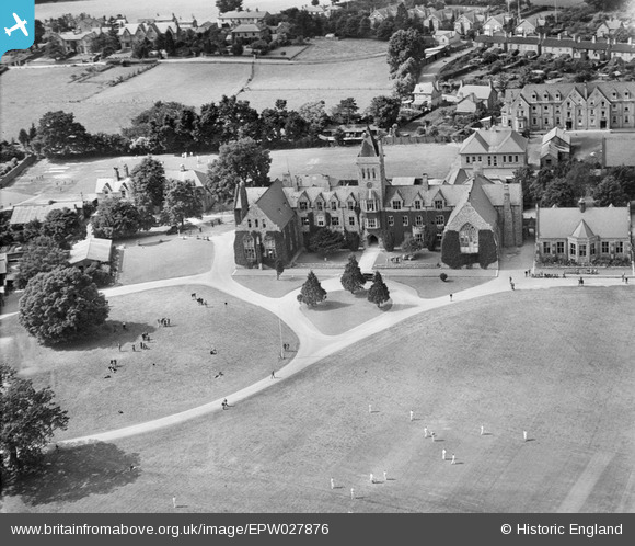
EPW027876 ENGLAND (1929). Taunton School, Taunton, 1929
© Copyright OpenStreetMap contributors and licensed by the OpenStreetMap Foundation. 2026. Cartography is licensed as CC BY-SA.
Nearby Images (7)
EPW027876

EPW027878

EPW027880

EPW027877

EPW027881

EPW037672

EPW037671

Details
| Title | [EPW027876] Taunton School, Taunton, 1929 |
| Reference | EPW027876 |
| Date | 28-June-1929 |
| Link | |
| Place name | TAUNTON |
| Parish | |
| District | |
| Country | ENGLAND |
| Easting / Northing | 321861, 125792 |
| Longitude / Latitude | -3.1143091059766, 51.025641608387 |
| National Grid Reference | ST219258 |


User Comment Contributions

Taunton School, Taunton, 12/05/2015 |

Class31 |
Wednesday 13th of May 2015 04:59:01 PM |