
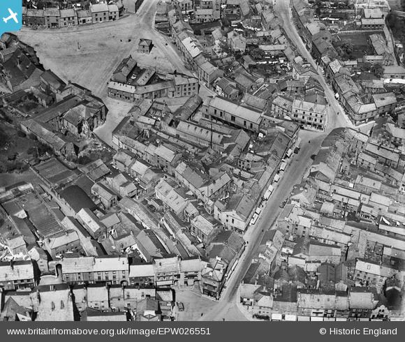
EPW026551 ENGLAND (1929). King Street and environs, Ulverston, 1929
© Copyright OpenStreetMap contributors and licensed by the OpenStreetMap Foundation. 2026. Cartography is licensed as CC BY-SA.
Nearby Images (5)
EPW026551

EPW026556

EPW026552

EPW026553

EPW026559

Details
| Title | [EPW026551] King Street and environs, Ulverston, 1929 |
| Reference | EPW026551 |
| Date | May-1929 |
| Link | |
| Place name | ULVERSTON |
| Parish | ULVERSTON |
| District | |
| Country | ENGLAND |
| Easting / Northing | 328561, 478443 |
| Longitude / Latitude | -3.0951399797327, 54.196593834898 |
| National Grid Reference | SD286784 |
Pins

gnombicards |
Tuesday 12th of May 2020 01:09:56 PM |