
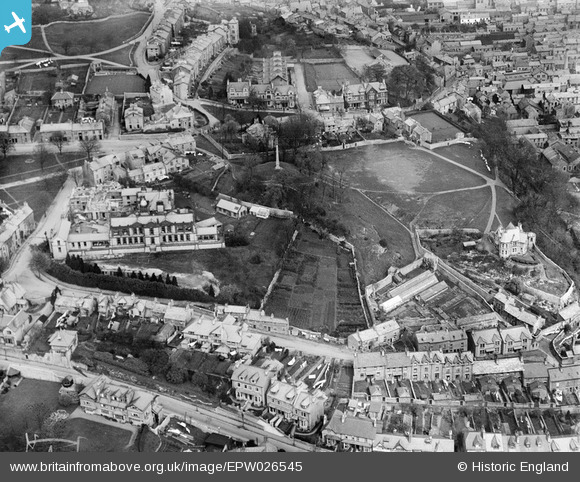
EPW026545 ENGLAND (1929). Castle Howe and the County Hospital, Kendal, 1929
© Copyright OpenStreetMap contributors and licensed by the OpenStreetMap Foundation. 2026. Cartography is licensed as CC BY-SA.
Nearby Images (4)
EPW026545

EPW038828

EPW038830

EAW043384

Details
| Title | [EPW026545] Castle Howe and the County Hospital, Kendal, 1929 |
| Reference | EPW026545 |
| Date | May-1929 |
| Link | |
| Place name | KENDAL |
| Parish | KENDAL |
| District | |
| Country | ENGLAND |
| Easting / Northing | 351243, 492357 |
| Longitude / Latitude | -2.7497371020937, 54.324305323758 |
| National Grid Reference | SD512924 |
Pins
Be the first to add a comment to this image!