
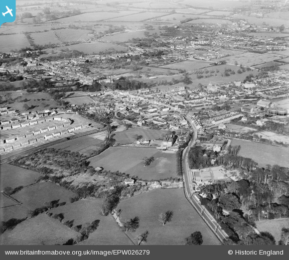
EPW026279 ENGLAND (1929). The town, Chertsey, from the south-west, 1929
© Copyright OpenStreetMap contributors and licensed by the OpenStreetMap Foundation. 2026. Cartography is licensed as CC BY-SA.
Nearby Images (2)
EPW026279

EPW026278

Details
| Title | [EPW026279] The town, Chertsey, from the south-west, 1929 |
| Reference | EPW026279 |
| Date | 25-April-1929 |
| Link | |
| Place name | CHERTSEY |
| Parish | |
| District | |
| Country | ENGLAND |
| Easting / Northing | 503490, 166319 |
| Longitude / Latitude | -0.51259216248187, 51.385971777018 |
| National Grid Reference | TQ035663 |
Pins
Be the first to add a comment to this image!