
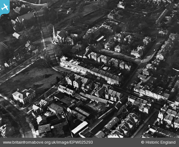
EPW025293 ENGLAND (1928). Church Street, Enfield, 1928. This image has been produced from a print.
© Copyright OpenStreetMap contributors and licensed by the OpenStreetMap Foundation. 2026. Cartography is licensed as CC BY-SA.
Nearby Images (4)
EPW025293

EPW006276

EPW010324

EPW001540

Details
| Title | [EPW025293] Church Street, Enfield, 1928. This image has been produced from a print. |
| Reference | EPW025293 |
| Date | October-1928 |
| Link | |
| Place name | ENFIELD |
| Parish | |
| District | |
| Country | ENGLAND |
| Easting / Northing | 532545, 196578 |
| Longitude / Latitude | -0.083839368789719, 51.651881450639 |
| National Grid Reference | TQ325966 |
Pins

BHP-Paul |
Thursday 3rd of March 2016 08:26:40 PM |