
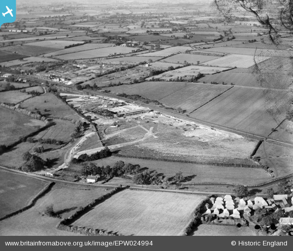
EPW024994 ENGLAND (1928). Silk works under construction, Stowmarket, from the south-west, 1928
© Copyright OpenStreetMap contributors and licensed by the OpenStreetMap Foundation. 2026. Cartography is licensed as CC BY-SA.
Nearby Images (4)
EPW024994

EAW015349
 and the surrounding area, Stowmarket, from the south-east, 1948. This image has been produced from a print marked by Aerofilms Ltd for photo editing.")
EAW015354
, Stowmarket, 1948. This image has been produced from a print marked by Aerofilms Ltd for photo editing.")
EAW015353
, Stowmarket, 1948. This image has been produced from a print marked by Aerofilms Ltd for photo editing.")
Details
| Title | [EPW024994] Silk works under construction, Stowmarket, from the south-west, 1928 |
| Reference | EPW024994 |
| Date | 9-October-1928 |
| Link | |
| Place name | STOWMARKET |
| Parish | STOWMARKET |
| District | |
| Country | ENGLAND |
| Easting / Northing | 606499, 257076 |
| Longitude / Latitude | 1.0202520904433, 52.172832925669 |
| National Grid Reference | TM065571 |
Pins

Class31 |
Monday 1st of April 2013 04:52:04 PM | |
Converted into the Ipswich and Stowmarket Navigation. Opened 1793, mostly using the River Gipping. Traffic to Stowmarket stopped around 1910, and the navigation was abandoned in 1932. (Information from "Lost Canals and Waterways of Britain", by Ronald Russell, published by David and Charles.) |

John W |
Saturday 21st of January 2017 03:59:10 PM |