
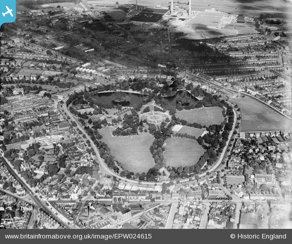
EPW024615 ENGLAND (1928). West Park and surroundings, Wolverhampton, 1928
© Copyright OpenStreetMap contributors and licensed by the OpenStreetMap Foundation. 2026. Cartography is licensed as CC BY-SA.
Nearby Images (3)
EPW024615

EPW024614

EPW020029

Details
| Title | [EPW024615] West Park and surroundings, Wolverhampton, 1928 |
| Reference | EPW024615 |
| Date | September-1928 |
| Link | |
| Place name | WOLVERHAMPTON |
| Parish | |
| District | |
| Country | ENGLAND |
| Easting / Northing | 390601, 299106 |
| Longitude / Latitude | -2.1387533939183, 52.589318205559 |
| National Grid Reference | SO906991 |
