
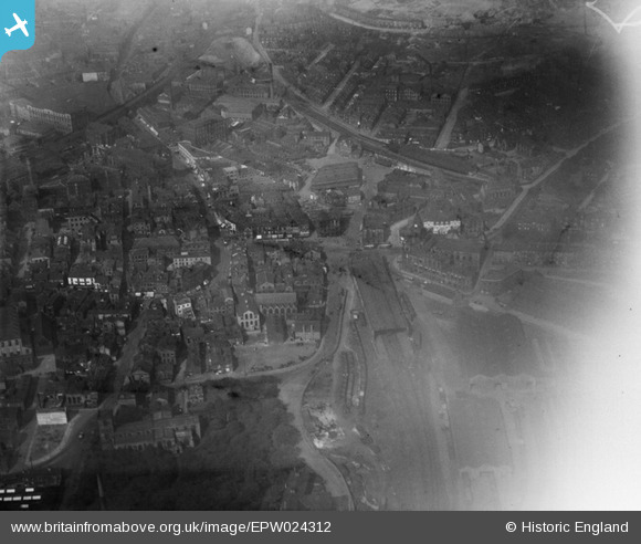
EPW024312 ENGLAND (1928). The town centre, Dewsbury, 1928
© Copyright OpenStreetMap contributors and licensed by the OpenStreetMap Foundation. 2026. Cartography is licensed as CC BY-SA.
Nearby Images (3)
EPW024312

EPW024315

EPW024311

Details
| Title | [EPW024312] The town centre, Dewsbury, 1928 |
| Reference | EPW024312 |
| Date | September-1928 |
| Link | |
| Place name | DEWSBURY |
| Parish | |
| District | |
| Country | ENGLAND |
| Easting / Northing | 424660, 421741 |
| Longitude / Latitude | -1.6265165910914, 53.69130656077 |
| National Grid Reference | SE247217 |
Pins

Amaan |
Tuesday 31st of January 2017 12:07:46 AM |