
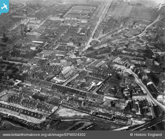
EPW024302 ENGLAND (1928). King Street, St Paul's Street and environs, Morley, 1928. This image has been produced from a copy-negative.
© Copyright OpenStreetMap contributors and licensed by the OpenStreetMap Foundation. 2026. Cartography is licensed as CC BY-SA.
Nearby Images (2)
EPW024302

 0°
0m
0°
0m
EPW024301
 90°
36m
90°
36m
Details
| Title | [EPW024302] King Street, St Paul's Street and environs, Morley, 1928. This image has been produced from a copy-negative. |
| Reference | EPW024302 |
| Date | September-1928 |
| Link | |
| Place name | MORLEY |
| Parish | MORLEY |
| District | |
| Country | ENGLAND |
| Easting / Northing | 426556, 427402 |
| Longitude / Latitude | -1.5973160969617, 53.742099831665 |
| National Grid Reference | SE266274 |
Pins
Be the first to add a comment to this image!