
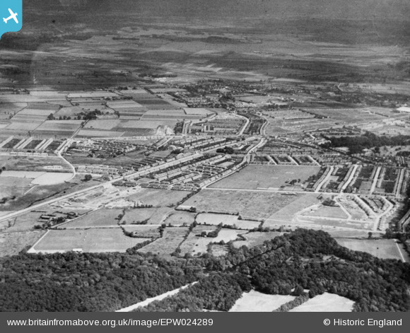
EPW024289 ENGLAND (1928). Housing development around Eastern Avenue and environs, Cranbrook, 1928. This image has been produced from a copy-negative.
© Copyright OpenStreetMap contributors and licensed by the OpenStreetMap Foundation. 2026. Cartography is licensed as CC BY-SA.
Nearby Images (2)
EPW024289

EPW024291

Details
| Title | [EPW024289] Housing development around Eastern Avenue and environs, Cranbrook, 1928. This image has been produced from a copy-negative. |
| Reference | EPW024289 |
| Date | September-1928 |
| Link | |
| Place name | CRANBROOK |
| Parish | |
| District | |
| Country | ENGLAND |
| Easting / Northing | 542816, 188372 |
| Longitude / Latitude | 0.061200949141086, 51.575622558485 |
| National Grid Reference | TQ428884 |
