
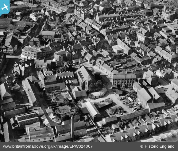
EPW024007 ENGLAND (1928). The Methodist Church and environs, Yeovil, 1928
© Copyright OpenStreetMap contributors and licensed by the OpenStreetMap Foundation. 2026. Cartography is licensed as CC BY-SA.
Nearby Images (14)
EPW024007

EPW011726

EAW051187

EPW024015

EAW051189

EAW051929

EAW051185

EAW051186

EPW011725

EAW051188

EPW024027

EPW011729

EPW024008

EPW048466

Details
| Title | [EPW024007] The Methodist Church and environs, Yeovil, 1928 |
| Reference | EPW024007 |
| Date | September-1928 |
| Link | |
| Place name | YEOVIL |
| Parish | YEOVIL |
| District | |
| Country | ENGLAND |
| Easting / Northing | 355926, 116004 |
| Longitude / Latitude | -2.6273775102827, 50.941242872746 |
| National Grid Reference | ST559160 |
Pins

Alan McFaden |
Sunday 13th of April 2014 09:57:48 AM | |

Class31 |
Saturday 29th of September 2012 08:29:55 PM | |
|
Class31 |
Saturday 29th of September 2012 08:29:20 PM | |
|
Class31 |
Saturday 29th of September 2012 08:27:47 PM |

User Comment Contributions
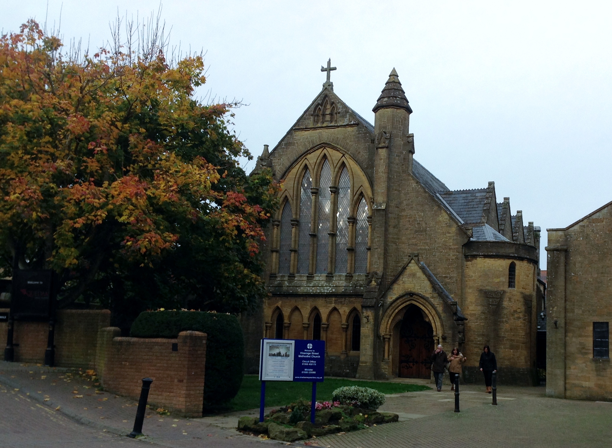
Yeovil Methodist Church looking north. Photograph taken today 07/11/2013 |
Class31 |
Thursday 7th of November 2013 08:34:43 PM |