
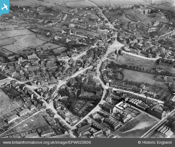
EPW023806 ENGLAND (1928). The town centre, Birstall, 1928
© Copyright OpenStreetMap contributors and licensed by the OpenStreetMap Foundation. 2026. Cartography is licensed as CC BY-SA.
Nearby Images (4)
EPW023806

 0°
0m
0°
0m
EPW023803
 93°
85m
93°
85m
EPW023801
 310°
114m
310°
114m
EPW023802
 103°
188m
103°
188m
Details
| Title | [EPW023806] The town centre, Birstall, 1928 |
| Reference | EPW023806 |
| Date | September-1928 |
| Link | |
| Place name | BIRSTALL |
| Parish | |
| District | |
| Country | ENGLAND |
| Easting / Northing | 422331, 426300 |
| Longitude / Latitude | -1.6614604650782, 53.732392125443 |
| National Grid Reference | SE223263 |
Pins

Graham Cass |
Tuesday 27th of December 2022 01:03:31 PM | |
 SITE OF NEW ST PATRICK'S CHURCH SINCE 1969 SITE OF NEW ST PATRICK'S CHURCH SINCE 1969 |
pudwood |
Monday 23rd of June 2014 10:13:09 PM |
| ORIGINAL ST PATRICK'S CHURCH AND SCHOOL |
pudwood |
Monday 23rd of June 2014 10:12:32 PM |
| Blackburn Road. |

Cabby |
Tuesday 25th of February 2014 10:23:44 PM |
|
Cabby |
Tuesday 25th of February 2014 10:21:57 PM |

