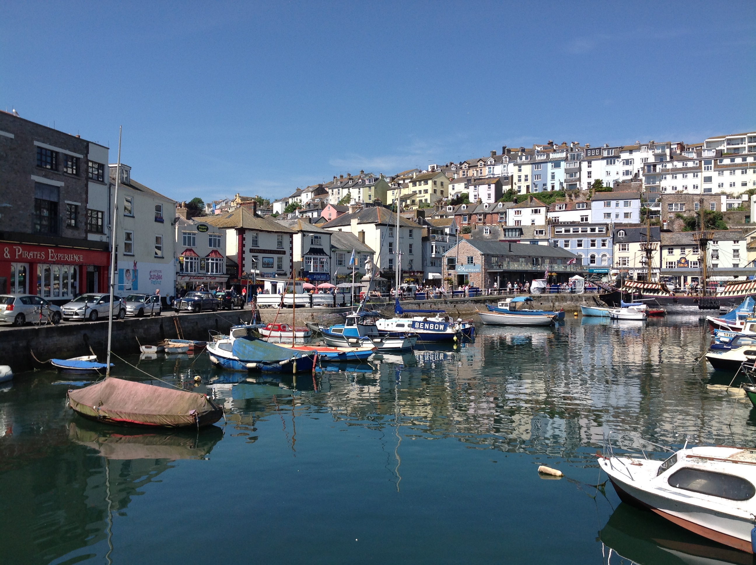
EPW023773 ENGLAND (1928). Brixham Harbour and New Pier, Brixham, 1928
    © Copyright OpenStreetMap contributors and licensed by the OpenStreetMap Foundation. 2025. Cartography is licensed as CC BY-SA.
  
Nearby Images (5)
Details
| Title | [EPW023773] Brixham Harbour and New Pier, Brixham, 1928 | 
| Reference | EPW023773 | 
| Date | September-1928 | 
| Link | |
| Place name | BRIXHAM | 
| Parish | BRIXHAM | 
| District | |
| Country | ENGLAND | 
| Easting / Northing | 292635, 56295 | 
| Longitude / Latitude | -3.5107323433181, 50.396108561563 | 
| National Grid Reference | SX926563 | 
Pins
|   Allen T | Monday 15th of September 2014 01:53:33 PM | |
|  Now part of the SW Coastal Path. |   Allen T | Monday 15th of September 2014 01:48:13 PM | 
|  The Quay |   Allen T | Monday 15th of September 2014 01:47:23 PM | 
|  Crab Quay |   Allen T | Monday 15th of September 2014 01:46:47 PM | 
| Class31 | Thursday 3rd of July 2014 05:25:07 PM | |
|  Overgang Road. This road leading from the harbour up a steep hill, to where the Dutch made their camp, is still called Overgang, meaning 'passage' in Dutch |   Allen T | Sunday 19th of May 2013 11:40:01 PM | 
 
             
  ![[EPW023773] Brixham Harbour and New Pier, Brixham, 1928](http://britainfromabove.org.uk/sites/all/libraries/aerofilms-images/public/100x100/EPW/023/EPW023773.jpg) 
  
                                          ![[EPW023782] Brixham Harbour and New Pier, Brixham, 1928](http://britainfromabove.org.uk/sites/all/libraries/aerofilms-images/public/100x100/EPW/023/EPW023782.jpg) 
 ![[EPW023774] Brixham Harbour, Brixham, 1928](http://britainfromabove.org.uk/sites/all/libraries/aerofilms-images/public/100x100/EPW/023/EPW023774.jpg) 
 ![[EPW023715] Brixham Harbour and environs, Brixham, 1928](http://britainfromabove.org.uk/sites/all/libraries/aerofilms-images/public/100x100/EPW/023/EPW023715.jpg) 
 ![[EAW007578] Brixham Harbour and town, Brixham, 1947](http://britainfromabove.org.uk/sites/all/libraries/aerofilms-images/public/100x100/EAW/007/EAW007578.jpg) 
 