
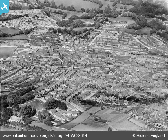
EPW023614 ENGLAND (1928). The town centre, Newton Abbot, 1928
© Copyright OpenStreetMap contributors and licensed by the OpenStreetMap Foundation. 2026. Cartography is licensed as CC BY-SA.
Nearby Images (4)
EPW023614

EPW039818

EPW033397

EPW023611

Details
| Title | [EPW023614] The town centre, Newton Abbot, 1928 |
| Reference | EPW023614 |
| Date | September-1928 |
| Link | |
| Place name | NEWTON ABBOT |
| Parish | NEWTON ABBOT |
| District | |
| Country | ENGLAND |
| Easting / Northing | 285814, 71237 |
| Longitude / Latitude | -3.6112305647677, 50.529159753886 |
| National Grid Reference | SX858712 |


