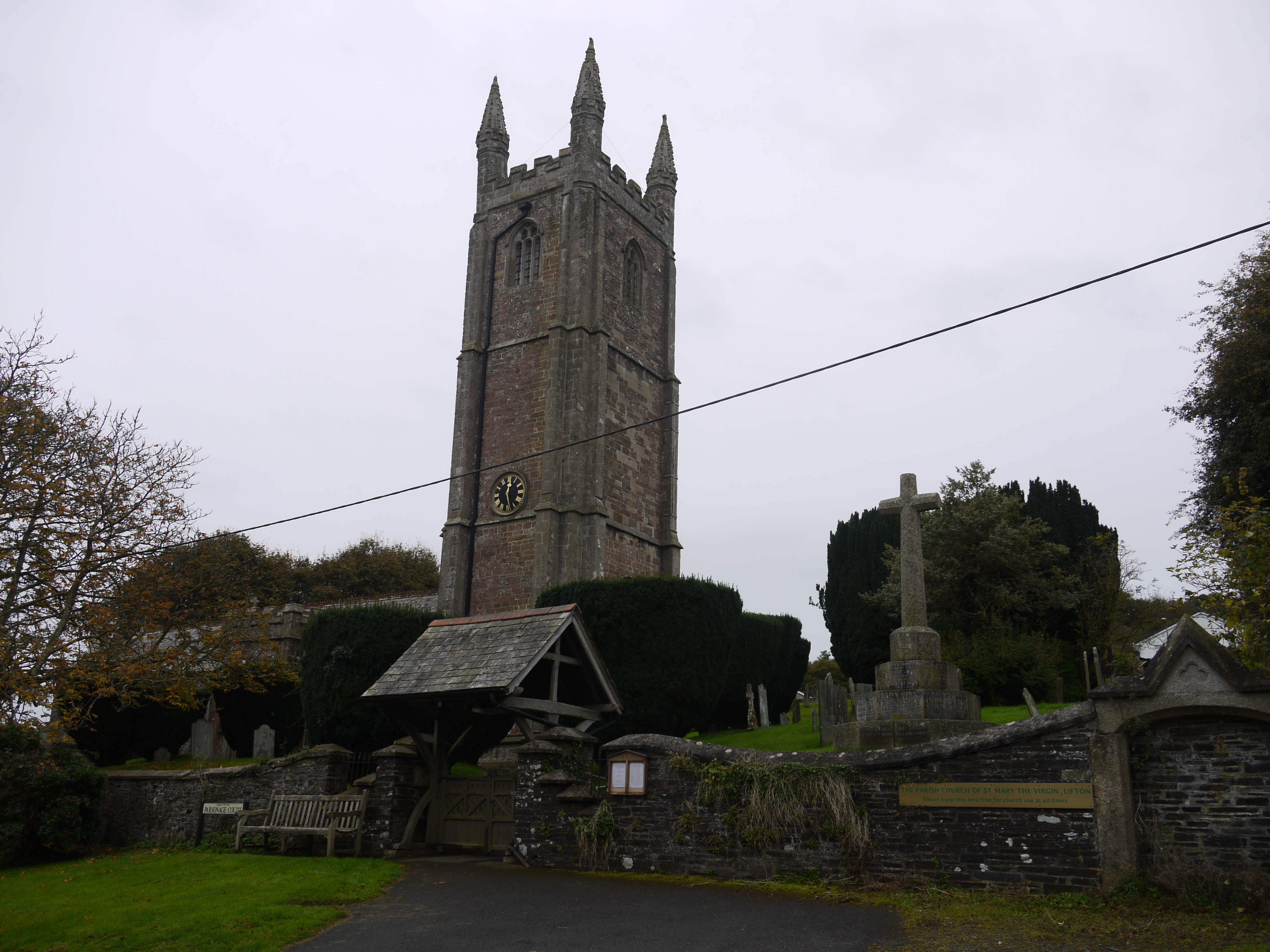
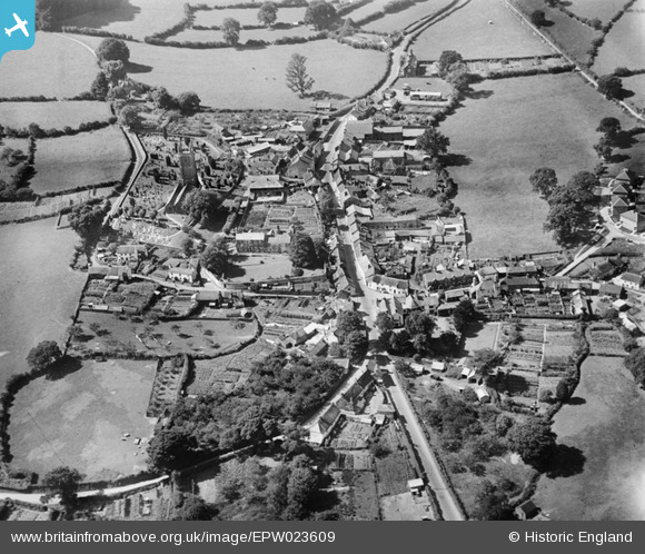
EPW023609 ENGLAND (1928). Fore Street, St Mary's Church and the village, Lifton, 1928
© Copyright OpenStreetMap contributors and licensed by the OpenStreetMap Foundation. 2026. Cartography is licensed as CC BY-SA.
Nearby Images (3)
EPW023609

EPW023607

EPW023608

Details
| Title | [EPW023609] Fore Street, St Mary's Church and the village, Lifton, 1928 |
| Reference | EPW023609 |
| Date | September-1928 |
| Link | |
| Place name | LIFTON |
| Parish | LIFTON |
| District | |
| Country | ENGLAND |
| Easting / Northing | 238699, 85080 |
| Longitude / Latitude | -4.2815795433894, 50.642471633218 |
| National Grid Reference | SX387851 |
Pins

Philip F Cleary |
Saturday 30th of March 2013 09:08:31 PM | |
|
Philip F Cleary |
Saturday 30th of March 2013 08:42:49 PM | |
|
Philip F Cleary |
Saturday 30th of March 2013 08:42:19 PM | |
|
Philip F Cleary |
Saturday 30th of March 2013 08:37:13 PM | |
|
Philip F Cleary |
Saturday 30th of March 2013 08:36:12 PM |